|
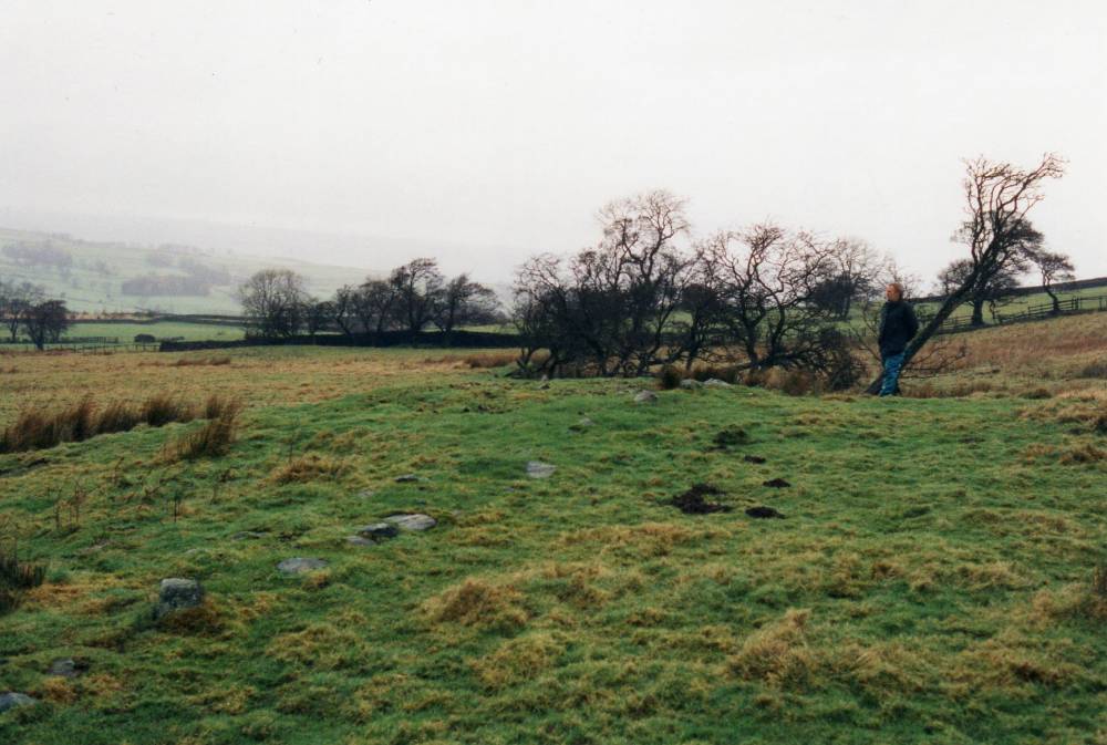
| *****SWAAG_ID***** | 53 | | Date Entered | 11/01/2011 | | Updated on | 13/12/2011 | | Recorded by | Tim Laurie | | Category | Burnt Mound | | Record Type | Archaeology | | Site Access | Private | | Location | Ings Farm, Town Spring | | Civil Parish | Scrafton | | Brit. National Grid | SE 100 845 | | Altitude | 295m | | Record Name | West Scrafton. Below Town Spring. Burnt Mound - Recorded by R.F. White | | Record Description | Burnt Mound - Large, Average. Turf covered. Much visible charcoal. Rabbit damaged, now in young plantation.
| | Additional Notes | Dimensions.
Size: Small <6m, Medium 6m-9m, Large 10m-15m, Extra large >15m.
Height: Low <0.5m, Average 0.5-1.0m, High >1.0m. | | Image 1 ID | 1694 Click image to enlarge | | Image 1 Description | Ings Farm Burnt Mound before plantation. With A.F. |  |
 |
|